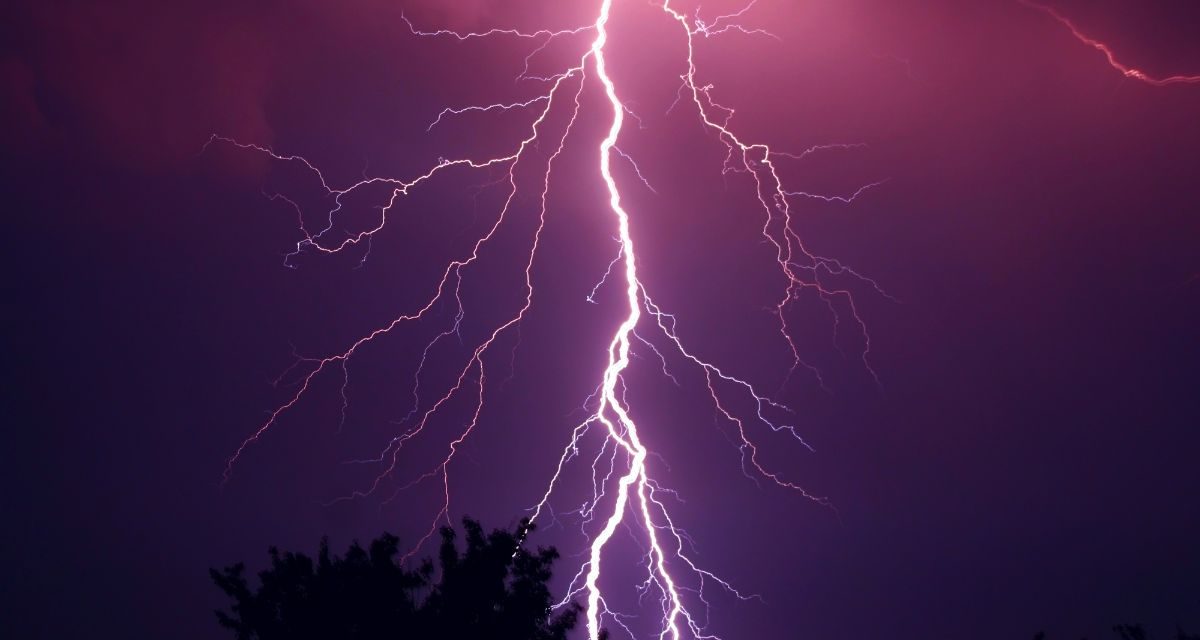
As parts of the UK have seen record-breaking temperatures over the weekend, there have also been many thunderstorm warnings issued by the Met Office due to extreme heat.
Those who have been issued with a yellow thunderstorm warning by the forecasters should expect conditions to last from 12pm until 9pm this evening as thunderstorms and torrential downpours arrive throughout the day (June 12).
In England, the likes of Manchester, Stoke-on-Trent, Nottingham, Peterborough, London and Bath fall under the yellow-covered areas on the Met Office map.
The same warning is also in place for West Scotland and most of Wales.
⚠️⚠️ Amber weather warning issued ⚠️⚠️
Active thunderstorms will bring heavy rainfall, lightning and hail with surface water flooding likely.
NOW – Today 1900Latest info ???? https://t.co/QwDLMfRBfs
Stay #WeatherAware ⚠️ pic.twitter.com/EGEWjHi8UG— Met Office (@metoffice) June 12, 2023
A further amber warning has been issued from 3.21pm until 7pm this evening for areas around Leicester, Birmingham, Worcester, Gloucester, Milton Keynes and Oxford.
This means active thunderstorms will bring heavy rainfall, lightning, strong winds, and hail, according to the Met Office.
Live lightning and thunderstorms map as weather warnings issued across UK
To help you find out when the exact thunderstorms and strikes of lightning are due to happen where you are, we have located a live map that shows the bad weather as it happens on lightningmaps.org.
What to expect for yellow and amber thunderstorm warnings in the UK?
For those in areas with a yellow thunderstorm warning, the Met Office says to expect the following:
- Flooding of homes and businesses could happen quickly, with damage to some buildings from floodwater, lightning strikes, hail or strong winds
- Spray and sudden flooding could lead to difficult driving conditions and some road closures
- Some communities might become cut off if roads flood
- Where flooding or lightning strikes occur, there is a chance of delays and some cancellations to train and bus services
- Power cuts might occur and other services to some homes and businesses could be lost
- Fast flowing or deep floodwater is possible, causing a danger to life
Heavy and thundery showers are likely to move northwest across parts of the southwest England and Wales leading to some challenging conditions over the next few hours ????
Take care if you are out and about
Stay #WeatherAware pic.twitter.com/51MrxnO4lu— Met Office (@metoffice) June 12, 2023
Meanwhile, for amber thunderstorm warnings, people could expect:
- Flooding of homes and businesses is likely and could happen quickly, with damage to some buildings from floodwater, lightning strikes, hail or strong winds
- Where flooding or lightning strikes occur, delays and some cancellations to train and bus services are likely
- Spray and sudden flooding probably leading to difficult driving conditions and some road closures
- Some communities likely to become temporarily cut off if roads flood
- Power cuts likely to occur and other services to some homes and businesses could be lost
You can visit the Met Office website to find the latest weather updates where you are and guidance on weather warnings.
Join the exciting world of cryptocurrency trading with ByBit! As a new trader, you can benefit from a $10 bonus and up to $1,000 in rewards when you register using our referral link. With ByBit’s user-friendly platform and advanced trading tools, you can take advantage of cryptocurrency volatility and potentially make significant profits. Don’t miss this opportunity – sign up now and start trading!


Recent Comments