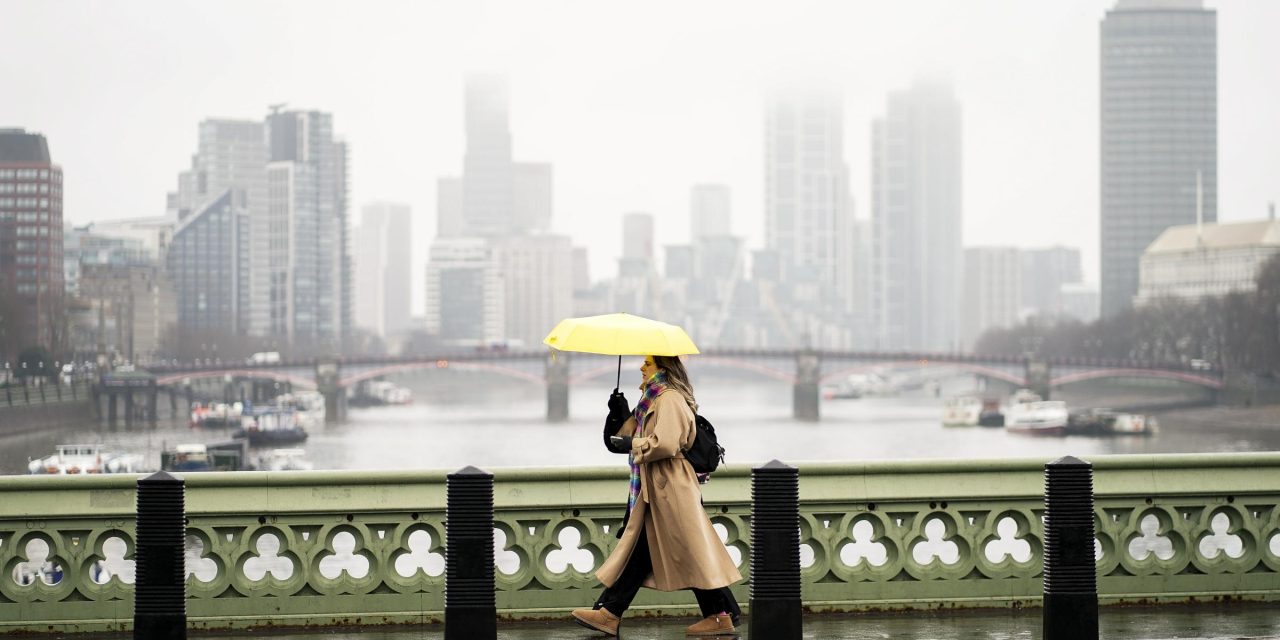
Temperatures have fallen across London and much of the UK, with lows of -5°C possible even in rural parts of southern England.
It will turn colder again through Monday evening with a return to widespread overnight frosts, according to the Met Office.
Conditions will also be largely dry, though some rain showers along the could turn to sleet over higher ground.
Wetter interludes will move in from the west and north on Sunday bringing rain for many through Sunday afternoon and Monday morning before clearing to the south and southeast on Monday afternoon.
Here is the hour-by-hour forecast for London for today (Monday)
12pm – Light rain
1pm – Light rain
2pm – Overcast
3pm – Light rain
4pm – Light rain
5pm – Overcast
6pm – Overcast
7pm – Cloudy
8pm – Cloudy
9pm – Light rain
10pm – Overcast
11pm – Overcast
Here is the hour-by-hour forecast for tomorrow (Tuesday)
7am – Cloudy
8am – Sunny intervals
9am – Sunny intervals
10am – Sunny intervals
11am – Sunny
12pm – Sunny
1pm – Sunny
2pm – Sunny
3pm – Sunny
4pm – Clear
5pm – Clear
6pm – Clear
7pm – Clear
8pm – Clear
9pm – Clear
10pm – Clear
Forecast in full
Today:
Staying cloudy much of Monday with persistent rain and the occasional heavier burst. Although, some drier and brighter spells likely across Hampshire and Sussex this morning. Rain easing later. Maximum temperature 10 °C.
Tonight:
Rain clearing to the southwest Monday evening with further showery rain arriving from the north. Becoming largely dry in the early hours although some heavier showers may affect coastal Kent. Minimum temperature 4 °C.
Tuesday:
Any mist or fog patches soon clearing. Then mostly dry and bright with long sunny spells, although the odd shower may clip southeastern coasts. Feeling cooler. Cloudier towards dawn. Maximum temperature 6 °C.
Outlook for Wednesday to Friday:
Sunny periods and isolated showers Wednesday. Cloudier Thursday and Friday as an area of heavy rain makes uncertain northeastward progress, possibly falling as snow over higher hills. Becoming cold. Breezy
Met Office Deputy Chief Meteorologist, Dan Harris, said: “Early next week, following a brief more unsettled interlude, we expect to see a return to widely cold but quiet conditions.
“Some rain, or showers, are likely to affect some parts of the east coast, and these could turn increasingly wintry over higher ground areas towards the middle of the week.
“Thereafter, confidence in the detailed forecast falls, which is typical when looking this far ahead.
“It does look as though there will be a trend towards something more unsettled, as areas of cloud and rain attempt to move across the UK. “At present, the most likely outcome beyond mid-week is that rain from the west slowly moves east, with snow possible over higher ground, and a continued risk of showers over eastern parts.
“However, there is a chance that a more active weather system arrives from the southwest, which would bring more widespread rain, stronger winds, and the potential for more significant snowfall should the air over the UK become sufficiently cold ahead of it.
“Either way, a continuation of colder than average conditions seems most likely, more details will become clear over the coming days and, as you would expect, we will be monitoring developments in the forecast closely.”
Join the exciting world of cryptocurrency trading with ByBit! As a new trader, you can benefit from a $10 bonus and up to $1,000 in rewards when you register using our referral link. With ByBit’s user-friendly platform and advanced trading tools, you can take advantage of cryptocurrency volatility and potentially make significant profits. Don’t miss this opportunity – sign up now and start trading!


Recent Comments